
Hartford Block Lookup Starting Point
A block search is a layered geography exercise. The parcel map shows the land next to a target address. The assessor or REST feature can show an owner, mailing address, use, zoning, and sale fields. An abutters buffer can return parcels within a distance. A voter lookup can verify one named registration, but there is no open Hartford web roster of every voter on a block. Neighborhood plans and NRZ meetings add civic context without listing every member.
| Source | What it shows about a block | Access |
|---|---|---|
| Hartford Property Viewer / GIS | Parcel polygons, IDs, situs, owner and mailing fields, use and map layers | Public map and REST layer |
| Abutters List Viewer | Parcel or mailing labels inside a user-defined feet buffer | Public city tool; use intended context |
| Assessor and tax records | Owner or account, property location, bill and list details | City portals and office |
| Voter records | Named registration, status, district, party or polling information | State lookup and Hartford registrars |
| NRZ and civic plans | Neighborhood boundaries, meetings, plans, community geography | City Planning and engagement pages |
| Historic directories | Dated occupants, businesses, street-first household clues | HPL, CSL, CHS, LOC, FamilySearch |
Owners and occupants are not interchangeable. A card can show an absentee owner or an organization. A nearby polygon is a parcel relationship, not a social relationship. A dated directory is historical evidence, not a current block list.
Hartford Neighborhood Parcel Map
Enter the target address in the Hartford Property Information Viewer. Confirm the parcel number, GIS PIN, situs, owner, mailing field, LegalRef, TaxMap, and polygon. Then pan or click to parcels that touch or sit near the target. Keep a small note for each parcel and only the fields needed for the purpose.
The map view is the cleanest way to see that a street, tax map, neighborhood, zoning district, or historic layer can describe the same place differently. The public REST service exposes owner, mailing, last-sale, legal, value, building, zoning, and neighborhood fields. Its graphical line is subject to change and does not replace a survey.
The official parcel viewer provides the starting map. Open Hartford’s property viewer and confirm the target before adding nearby parcels.
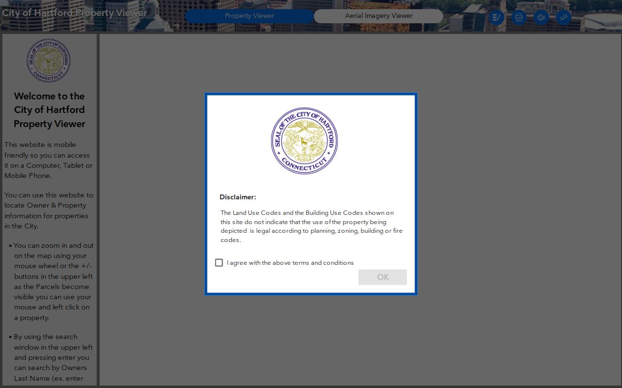
The target polygon gives the block search a fixed center. Save the parcel ID, not just a screen position.
The underlying technical layer can show how a result is structured. View the Hartford parcel REST layer before using a field in a block note.
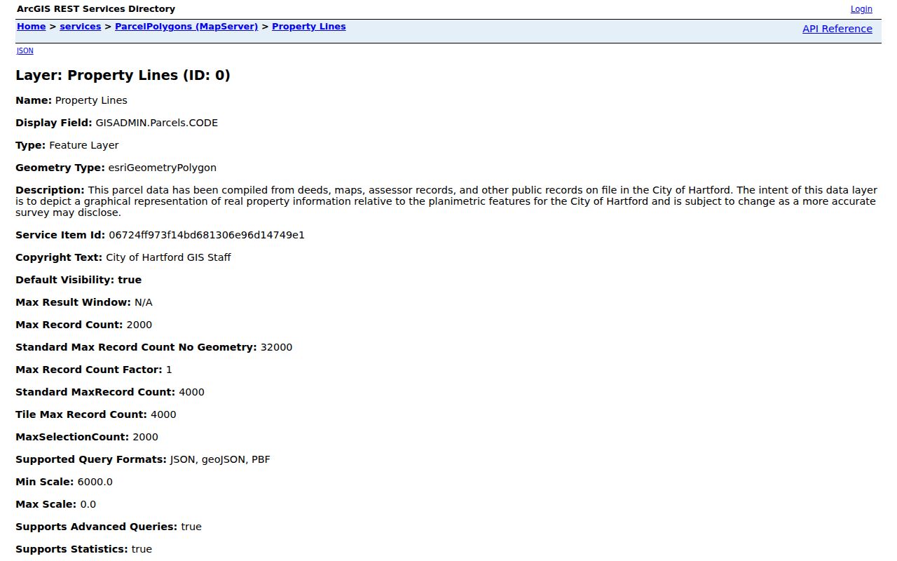
Use a narrow query and record the retrieval date. The service supports pagination and a maximum record count of 2,000, which is a reason to limit the geography.
Hartford Neighborhood Abutters Buffer
Hartford’s Abutters List Viewer uses a user-defined buffer distance in feet around a selected parcel. That is more precise than saying “the same block” without a definition. Select a target parcel, choose a legitimate notification or property context, set the distance, and read the returned parcel or mailing labels. The buffer describes geometry. It does not establish a household, relationship, or activity.
- Confirm the target parcel in the property viewer and note the parcel ID.
- Open the city-linked Abutters List Viewer and use the distance unit shown by the form.
- Record each returned parcel or mailing label only as a nearby property result.
- Compare the result with the tax map, parcel edge, street centerline, and legal description.
- Remove protected or unnecessary personal details from any note shared with another person.
The city tool is an abutters workflow, not a public neighbor directory. A result can be missing, redacted, stale, or affected by the map’s geometry. Ask Hartford GIS or the Assessor when the boundary is unclear.
Compare Hartford Neighbor Cards
Compare adjacent parcel cards by field group. Identity fields tie a result to a parcel. Situs fields locate the land. Mailing fields show correspondence. Transaction fields suggest a deed search. Building and zoning fields describe the property. None is a complete record of who lives inside.
| Field group | Neighbor research use |
|---|---|
| Parcel Number / GIS PIN | Joins map, tax, plan, and deed references. |
| Street number and name | Identifies the physical situs and address range. |
| OwnerFullName | Assessed owner field; role still needs confirmation. |
| Mailing address and Zip10 | Owner correspondence destination, which can differ from the parcel. |
| LastGrantor / LastSaleDate | Starting clue for recorded-party research. |
| Units, YearBuilt, zoning, neighborhood | Property and civic context, not a household roster. |
A neighbor card can therefore establish that two parcels touch or sit within a selected buffer. It cannot establish that the owners know each other, that the same people occupy the properties, or that a person’s mailing address is a home.
Hartford Neighborhood Civic Map Layers
Hartford’s static-map catalog adds neighborhood, street, voting, tax, NRZ, zoning, future land-use, and 2010 census tract or block-group context. Use these layers after the parcel has been selected. They can explain why adjacent parcels sit in different planning areas, voting districts, historic areas, or postal labels. They cannot replace the parcel legal description.
Neighborhood geography is local and specific. Asylum Hill, West End, Frog Hollow, South Green, Southwest, Behind the Rocks, Sheldon-Charter Oak, Upper Albany, Northeast, Blue Hills, Parkville, South End, Barry Square, and other areas have different plans and histories. A map layer gives civic context without turning a neighborhood into a private membership list.
The city’s map catalog is the right source for comparing layers. Review Hartford GIS static maps before naming a planning or voting area.
The map helps locate the civic block around the parcel. It should not be read as a USPS ZIP boundary or a list of residents.
Hartford Neighborhood Voter Visibility
Connecticut does not provide a public street-wide web search for every voter near an address. The state lookup is for a named person and the statewide file request has a $300 cost, privacy conditions, and current public-field limits. The Hartford registrars can answer polling, canvass, update, and correction questions. Use the smallest permitted question and do not seek full birth date, driver-license, Social Security, ballot, or protected-address information.
Public registry information can include residence, former residence, voting district, party affiliation, status, polling place, and election participation indicators. Public Act 26-1, §96 limits released birth-date detail to the year. CGS §9-50(d) and the Voter Registry Privacy Program can suppress a qualifying person’s name and address. A voter match is not a list of everyone living in a parcel.
SOTS’s 2026 TotalVote testing found district assignments that needed updates and small sliver districts. A block’s civic geography can change as GIS precision improves, so record the lookup date and election cycle.
Hartford Neighbor Records Are Not Lists
An owner name identifies an assessed property role. A mailing address identifies correspondence. A voter name identifies a registration record. A directory line identifies a dated publication entry. A court or permit party may be an attorney, applicant, fiduciary, or business contact. Neighbor research becomes unreliable when those roles are collapsed into “people who live here.”
The same caution applies to tax bills, 311 requests, permits, and inspection records. They can place a name beside an address at a point in a transaction or request. They do not show every household member, private contact, utility customer, delivery recipient, or current occupant. Connecticut DMV information is restricted by the federal Driver Privacy Protection Act and CGS §14-10.
For current street-wide work, the Hartford by-street address chain gives the broader parcel, deed, permit, and historical-directory method. The neighbor page keeps its scope to the immediate block or selected buffer.
Hartford NRZ and Neighborhood Maps
Hartford Planning and Zoning routes residents to Find Your NRZ, HartfordNEXT, neighborhood plans, and meeting information. The city material names groups such as Asylum Hill, Blue Hills, Northeast, Upper Albany, Clay Arsenal, West End, South Downtown, Sheldon-Charter Oak, Frog Hollow, Parkville, Barry Square or Maple Avenue, South West or Behind the Rocks, South End, and South Green references. These are civic and planning channels, not official lists of every neighbor.
| Association or grouping | Geography or use | What is public |
|---|---|---|
| Asylum Hill Neighborhood Association / NRZ | Asylum Hill | Strategic plan and public meeting route; no member directory located |
| Blue Hills, Northeast, Upper Albany | North and northeast Hartford | Plans, meetings, and neighborhood context |
| Clay Arsenal, Frog Hollow, South Downtown | Central Hartford areas | Plans or meeting information; no public roster located |
| West End, Parkville, Southwest / Behind the Rocks | West and southwest areas | NRZ plans and city liaison routes |
| South End, South Green, Barry Square / MARG | South Hartford areas | Plans or map references; current boundaries need confirmation |
The official Planning and Zoning page supplies a public channel for plans, meeting dates, and neighborhood history. Open Hartford Planning and Zoning rather than looking for a private membership list.

The city page connects a parcel’s civic geography to public plans and meetings, not to a list of individual households.
Hartford Public Neighborhood Plans
Planning pages and the One Hartford resident guide can provide meeting locations, meeting frequency, strategic plans, and a route to a neighborhood liaison. The Office of Community Engagement connects city departments with resident groups. Those channels are useful for a block-history question, a public meeting, a plan, or a civic concern. They are not a reason to collect private member contacts.
Historical community research can move to HPL or CHS. Finding aids may include church, fraternal, ethnic, neighborhood, institutional, or social records. Current congregational, block-watch, and club membership lists were not located as authoritative public directories. Ask for a collection-level finding aid and access condition instead of treating an organization’s public meeting as proof of membership.
A good block search describes the block’s public geography and leaves personal relationships unclaimed.
Hartford Historic Block Occupants
To study an older block, start with a reverse or criss-cross directory by street and number, then move into a name-first Hartford city directory. Gardner’s 1840 guide uses directions and intersections, and Geer directories can show “h” home notation, occupation, spouse, widow, or boarding-house clues. The Connecticut Historical Society notes a separate “Colored Persons” section in Geer directories from 1843-1867/8, so a general surname search may be incomplete.
Pair the directory line with a 1790-1950 census schedule, a Sanborn sheet, a deed, a vital record, obituary, cemetery record, or probate file. Keep the publication year, street spelling, page, and source custodian. A historical occupant is not a current neighbor, and a map can date a building without naming who used it.
When the question becomes an entire named street, move to the by-street directory. The immediate block has a smaller, more careful record boundary.
Hartford Neighbor Records versus Tools
Official sources are built for a defined record purpose. Commercial neighbor-search tools may combine public records, stale address histories, marketing data, and inferred relationships. A polished result can still merge people with the same name, omit protected records, or lack a clear source date.
| Source type | Strength | Limit |
|---|---|---|
| Hartford GIS / assessor | Parcel, owner, situs, mailing, map and property fields | Owner is not the full household; fields are dated |
| Voter lookup | Named registration and polling route | Privacy program, public-field limits, no block roster |
| NRZ / civic pages | Neighborhood plans, boundaries, meetings, public context | No private membership directory located |
| Commercial category | May gather multiple public-source leads in one view | Unknown freshness, paywalls, merges, and unclear authority |
For a Hartford neighbor question, the parcel, buffer distance, map layer, and named-custodian result are more useful than an unexplained relationship label. Keep the purpose and source visible.
Hartford Neighborhood Privacy Limits
Public parcel fields do not establish private household-member identity, utility customers, deliveries, private phone or email details, or a person’s daily activity. Connecticut’s Address Confidentiality Program and Voter Registry Privacy Program can hide a protected person’s actual address or registry entry. Protected court parties, restricted vital details, and DMV data may also be absent.
Use Hartford GIS, the Assessor, city Planning, the registrars, HPL, and the Clerk for the record each office actually holds. If a parcel boundary is unclear, ask for a map, plan, or legal-reference explanation. If an index appears wrong, request correction from the custodian. Do not publish a personal address merely because a map places a parcel nearby.
Lawful personal use. Hartford neighbor research can support civic awareness, block history, personal safety, family history, and legitimate property questions. Never use it to stalk, harass, threaten, intimidate, or harm anyone.
The responsible endpoint is a documented block relationship: this parcel touches that parcel, this buffer returned these public property fields, or this plan places both addresses in the same civic area. Anything beyond that needs separate evidence.